Category: article
-
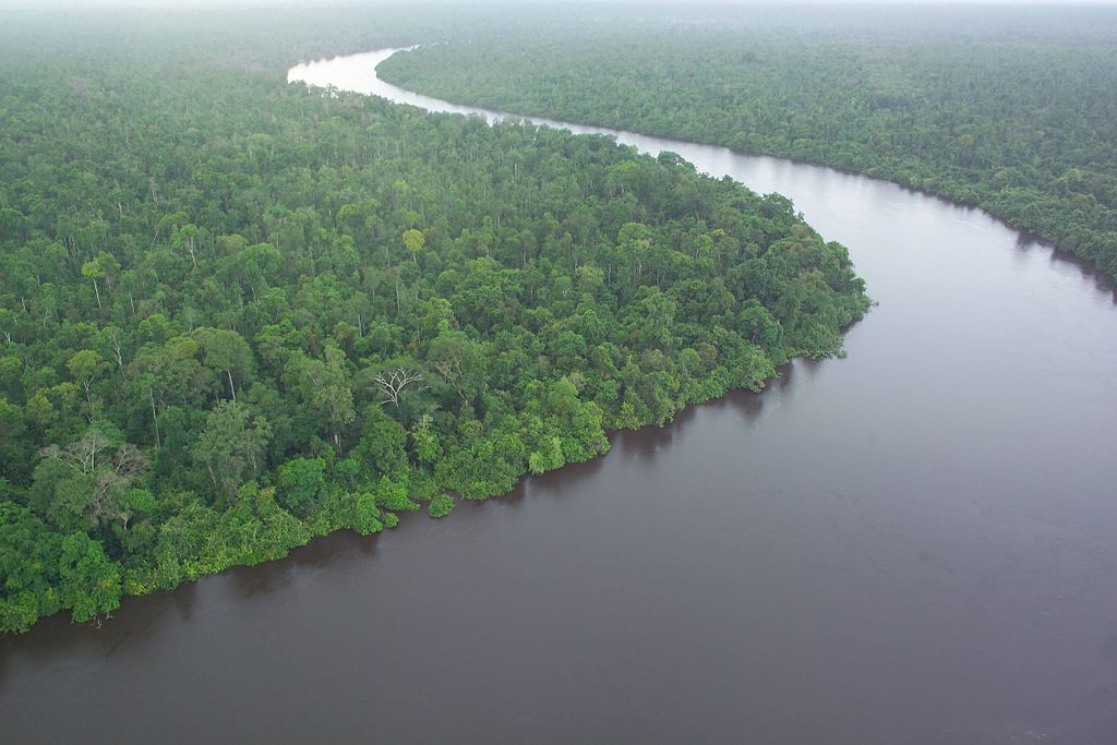
Peat Management in Indonesia
We recently published an article in The Conversation on Peat Management and Issues in Indonesia. Sorry in Bahasa Indonesia. But here is an English version of it: Can Indonesian peatland be managed responsibly? Supiandi Sabiham1,2, Budiman Minasny3, Budi Indra Setiawan1, Dian Fiantis4 1 Institut Pertanian Bogor, Bogor, Indonesia. 2 Perkumpulan Masyarakat Gambut Indonesia. 3 The…
-
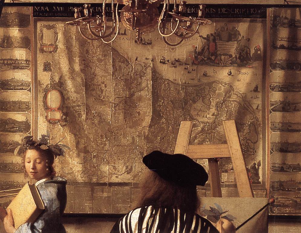
Classical Art as Covariates in Digital Mapping
Cartography is a blend of art and science. But can art be used as covariates in making digital maps? According to a new research yes, and the results are comparable with using real covariates. Ecology mappers face the same problem as DSMers, which covariates should be used for digital mapping? Machine-learning algorithms supposedly can handle a large number of predictors…
-
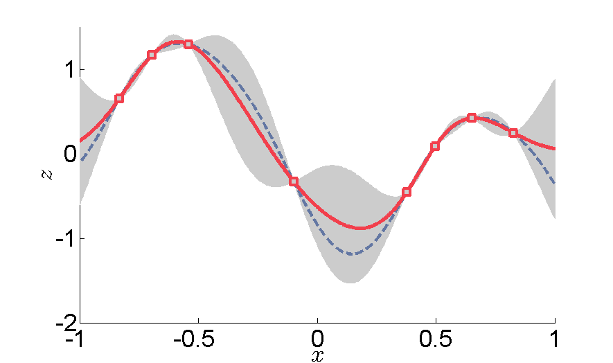
Interpolation
We like to perform interpolation to make a better soil map. When WE do interpolation we want and expect something similar in between the observed points. Musicians also do interpolation, but they want something quite different between the elements. According to Wikipedia, interpolation was done differently according to different genre: Classical Music– an abrupt change…
-

Highway to the Danger Zones
Revvin’ up your Rengine Listen to the PC roar Data under tension Beggin’ you to click and run I was thrilled when Laura Poggio presented a slide with a Venn diagram with sections labelled “Danger Zone” at the Pedometrics 2017 conference in Wageningen, June 2017. It brought me back…
-
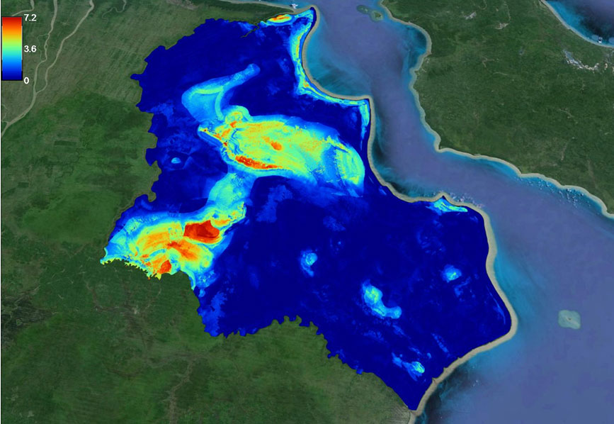
Can Lidar measure peat extent and thickness?
The answer is obviously not, but many in Indonesia were convinced that Lidar is the method for measuring peat extent and thickness. Where does this come from? Lidar, particularly used in airborne mapping, can be used to create a 3-D earth’s surface model. Laser pulses reflect objects both on and above the ground surface, thus…
-
Digital mapping of peatland in West Sumatra
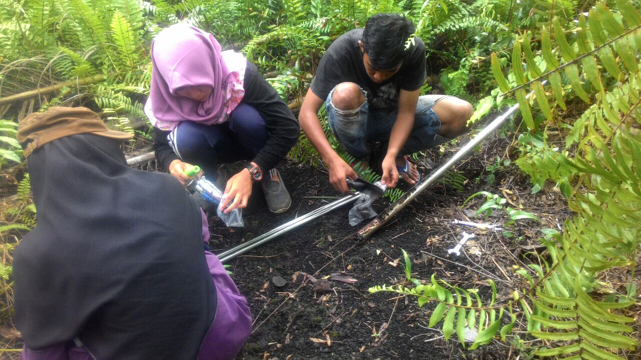
Prof. Dian Fiantis from Universitas Andalas collaborate with us (remotely) to map peatland in West Sumatra, an oil palm plantation with an area about 40,000 hectares. We helped designed the sampling locations by a stratified random approach. Students studied in the Soil Survey Course at Andalas were allocated to groups or zones. They located the…
-

Best paper 2016: Farm-scale soil carbon auditing
Our paper Farm-scale soil carbon auditing authored by Jaap deGruijter, Alex McBratney, Budiman Minasny, Ichsani Wheeler, brendan Malone and Uta Stockmann was recently voted as Best Paper in Geoderma. The paper available here was published in the March issue of Geoderma. The idea of the paper was borne out of an ARC Linkage project in…
-
Open digital mapping for assessing carbon storage in tropical peatlands
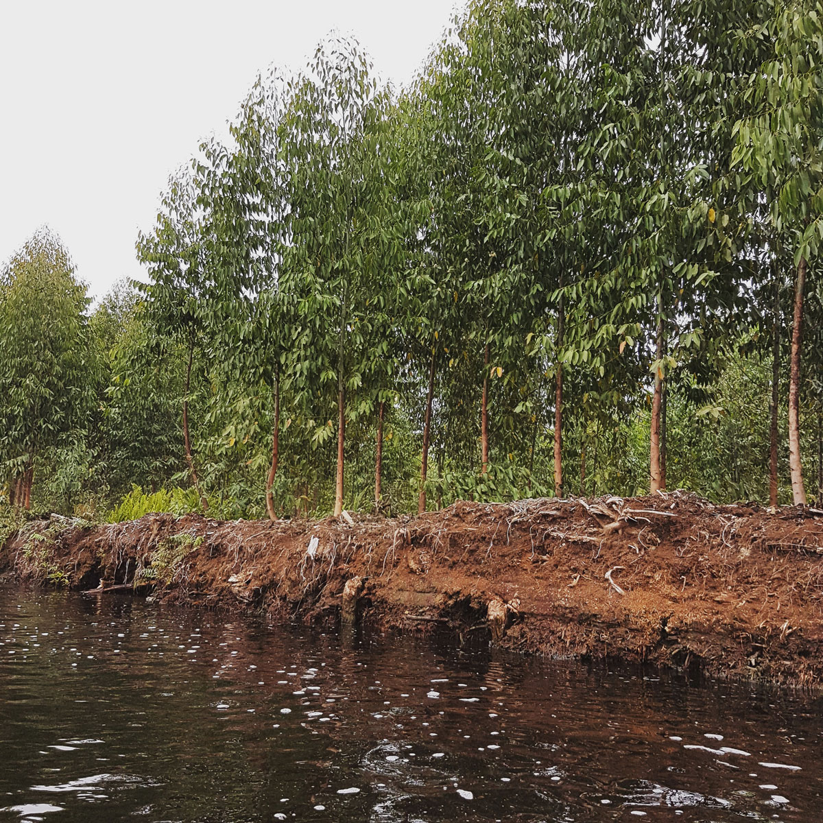
Researchers from Sydney, Australia, and Bogor, Indonesia demonstrate that tropical peatland can be mapped accurately and cost effectively using freely-available remote sensing data and open source software. At COP23 in Bonn, the Global Peatlands Initiative and various organisations held events aiming to bring peatlands on the agenda at COP23. Peatlands have an important role in…
-

Adding Organic Matter in Soil has a limited effect on soil’s water holding capacity
Sequestering carbon in the soil via the addition of Organic Matter addition has been widely promoted to contribute to the mitigation of climate change. Enhancing soil organic matter can improve soil quality, i.e., increasing nutrient retention, improvement in soil structure, enhancing soil biotic activity and improvements in soil moisture and temperature regimes. Organic matter addition…
-
Brendan Malone talks about DSM with R
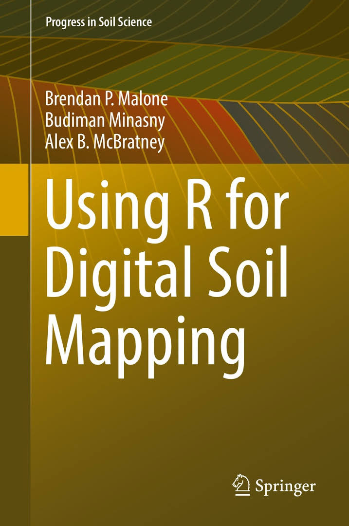
What led up to this DSM “cookbook”? Things really kicked off in 2010 when I was invited with Budiman and Alex to prepare a digital soil mapping training course to a number of Australian government scientists and soil scientists. Digital soil mapping was becoming operationalised in Australia around this time with initiatives such as the…