Author: admin
-
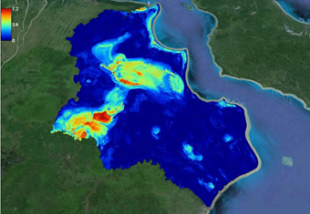
Digital Peatland Mapping in Indonesia
Open Digital Mapping methodology is a cost-effective and science-based method for mapping peatlands in Indonesia. Peatlands in Sumatra, Kalimantan, and Papua have been mapped using field survey data combined with free remote sensing data and machine learning methods. We recently published a critical review on digital mapping of peatland. We recommend that peatland is better…
-
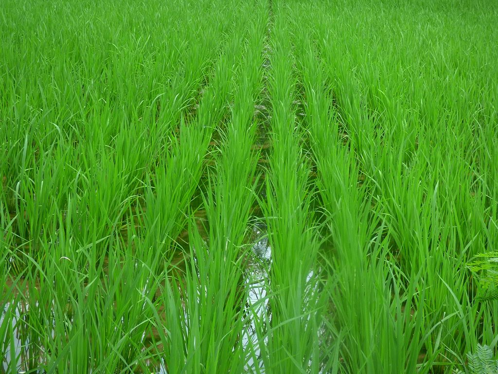
Mapping Rice and Its Growth Stages
We wanted to map rice fields and their growth stages using satellites Why? Over half the global population eats rice. Knowing how much rice is planted, and where it is planted, helps manage food security. We can know in advance if there’s going to be a rice shortage. At the moment, time-consuming and expensive field…
-

Mapping the world’s largest terrestrial carbon store
We wanted to know how much peatland there is in the world. Why? Because peatlands can store carbon (C) and help regulate the climate. But, peatland degradation is releasing C into the atmosphere. To conserve peatlands and halt their contribution to atmospheric carbon, we need to understand their extent, status, and C stocks. What we did…
-

Soil carbon 4p1000: Opportunities outweigh limitations
Here is my presentation at the 4p1000 conference in Poitiers, France, 17-20 June 2019 https://videotheque.univ-poitiers.fr/embed.php?id=94jd2m8i5k22qw725w6s&link=tlidhscpu71qgu5soqdmg1jzl5h8zj Slide: https://symposium.inra.fr/4p1000/content/download/4305/54269/version/1/file/Soil+C+4+per+1000+Poitier+F.pdf
-

Responding to critiques on 4 per mille
Some readers pointed out there are critiques to the Soil Carbon 4 per mille initiative, and especially our paper published in Geoderma (2017). We have responded to those critiques with a rejoinder, especially the tabloid-style writing by Baveye et al. There’s also a headline “Soil cannot halt climate change” which is a rhetoric, in fact…
-
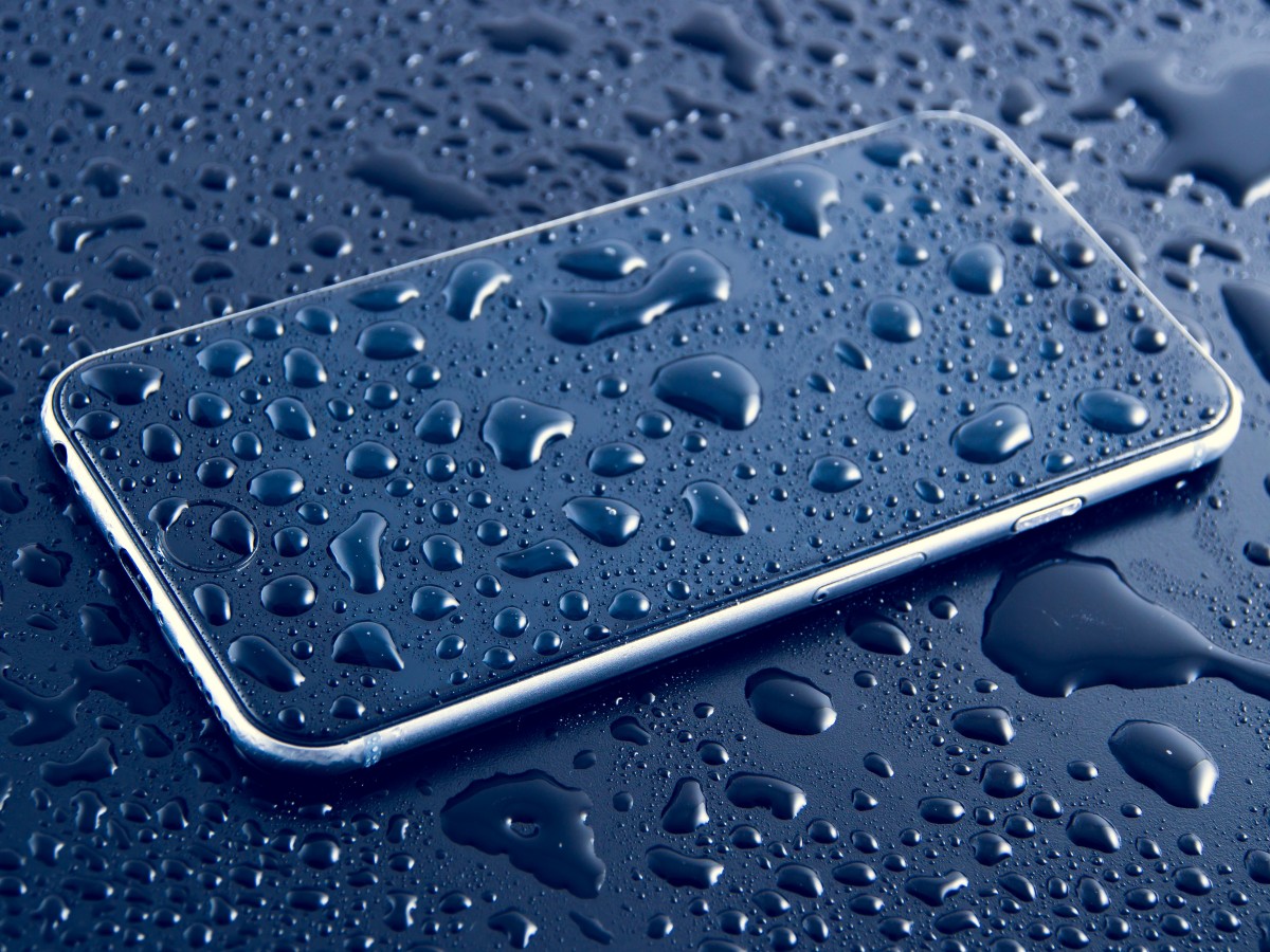
How to dry a wet mobile phone? A soil science’s perspective
Put in a bag of rice. That’s the most common answer. You can also bury your phone in the soil. But why rice can be used to suck out moisture from inside of your mobile phone. Some said rice is dry (so are other materials such as paper), and some said it has a high…
-
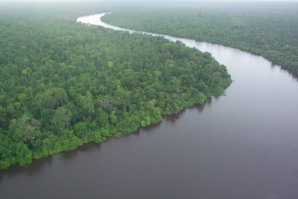
Peat Management in Indonesia
We recently published an article in The Conversation on Peat Management and Issues in Indonesia. Sorry in Bahasa Indonesia. But here is an English version of it: Can Indonesian peatland be managed responsibly? Supiandi Sabiham1,2, Budiman Minasny3, Budi Indra Setiawan1, Dian Fiantis4 1 Institut Pertanian Bogor, Bogor, Indonesia. 2 Perkumpulan Masyarakat Gambut Indonesia. 3 The…
-
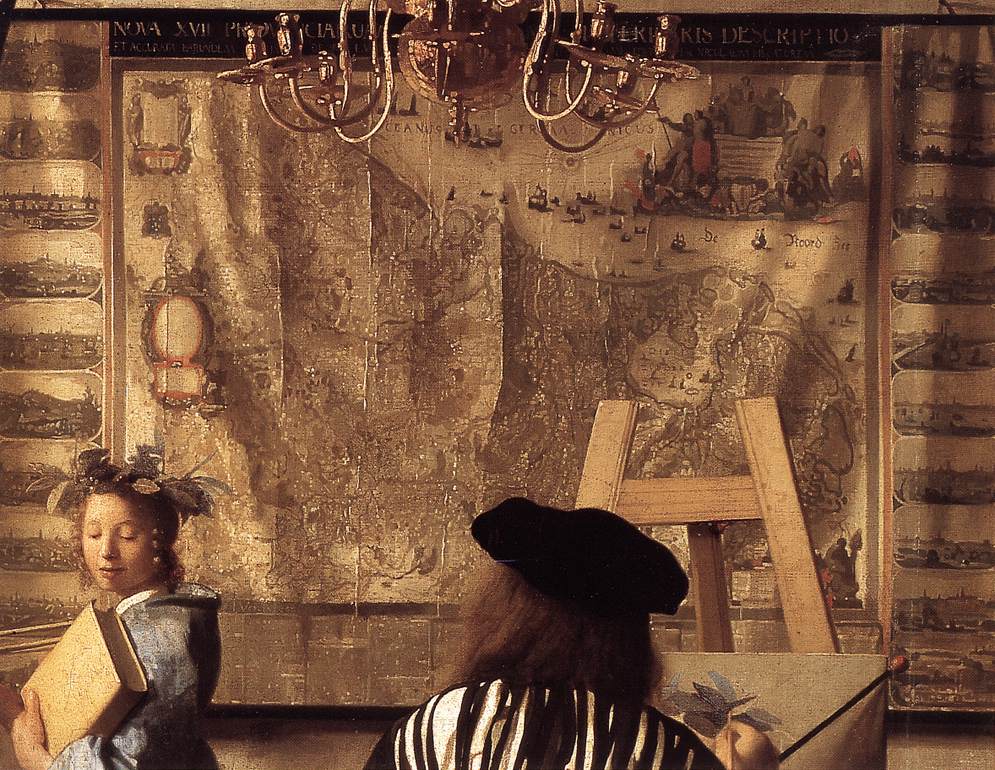
Classical Art as Covariates in Digital Mapping
Cartography is a blend of art and science. But can art be used as covariates in making digital maps? According to a new research yes, and the results are comparable with using real covariates. Ecology mappers face the same problem as DSMers, which covariates should be used for digital mapping? Machine-learning algorithms supposedly can handle a large number of predictors…
-
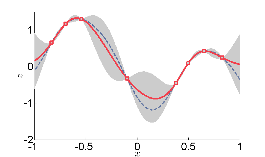
Interpolation
We like to perform interpolation to make a better soil map. When WE do interpolation we want and expect something similar in between the observed points. Musicians also do interpolation, but they want something quite different between the elements. According to Wikipedia, interpolation was done differently according to different genre: Classical Music– an abrupt change…
-

Highway to the Danger Zones
Revvin’ up your Rengine Listen to the PC roar Data under tension Beggin’ you to click and run I was thrilled when Laura Poggio presented a slide with a Venn diagram with sections labelled “Danger Zone” at the Pedometrics 2017 conference in Wageningen, June 2017. It brought me back…