Author: admin
-
Can Lidar measure peat extent and thickness?
The answer is obviously not, but many in Indonesia were convinced that Lidar is the method for measuring peat extent and thickness. Where does this come from? Lidar, particularly used in airborne mapping, can be used to create a 3-D earth’s surface model. Laser pulses reflect objects both on and above the ground surface, thus…
-
Digital mapping of peatland in West Sumatra
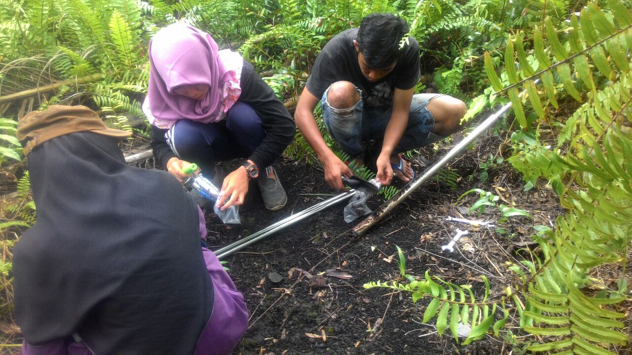
Prof. Dian Fiantis from Universitas Andalas collaborate with us (remotely) to map peatland in West Sumatra, an oil palm plantation with an area about 40,000 hectares. We helped designed the sampling locations by a stratified random approach. Students studied in the Soil Survey Course at Andalas were allocated to groups or zones. They located the…
-
Proximal Soil Sensing from a long way away, and a long time ago
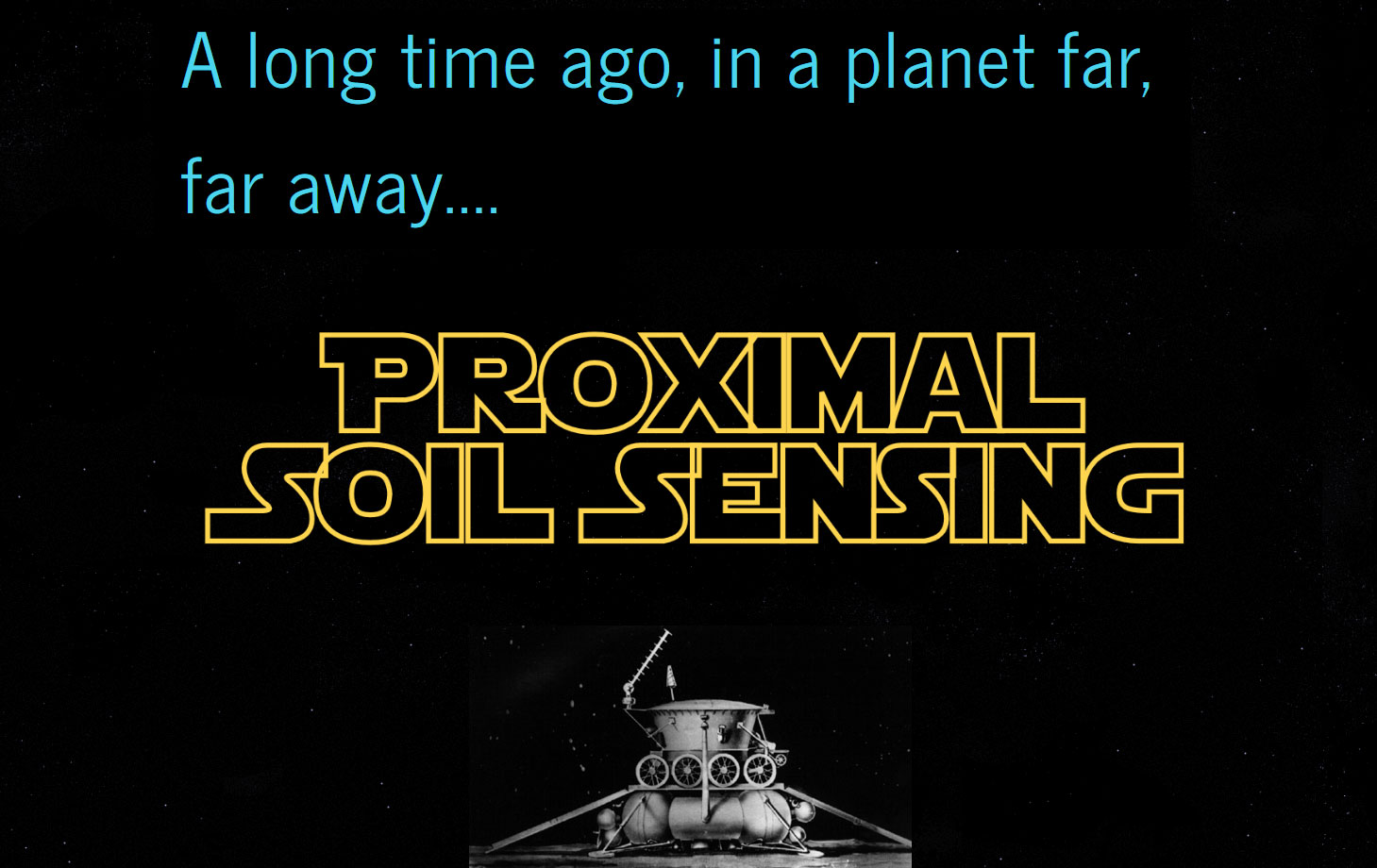
Lunokhod 1 (Луноход, moon walker in Russian) was the first astro-remote-controlled rovers landed on the Moon by the USSR. It was carried to the moon by the Luna 17 spacecraft, landed on November 17, 1970 in the northwestern part of Mare Imbrium, and operated until September 29, 1971. Lunokhod 1 is an eight-wheel rover with…
-
Soil temperature increase in Australia for the past 50 years
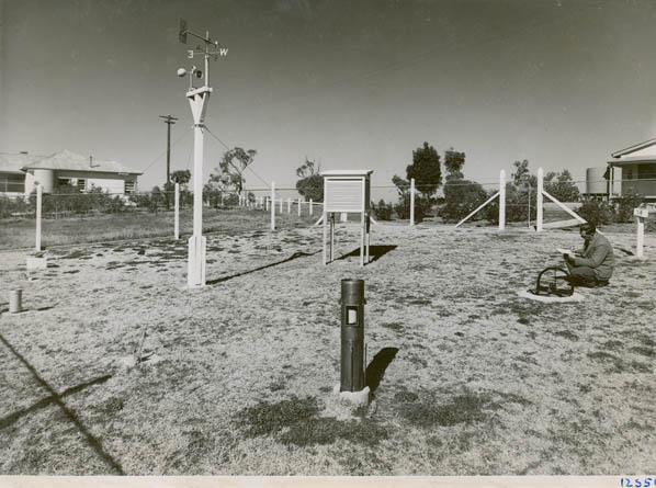
Can historical soil temperature data tell us about climate change? Of course Yes, it all began when we visited the Cowra Agricultural Research station and Brian Murphy showed us the soil temperature data from a depth of 1.8 m which was collected daily since 1942. The data show a gradual increase in soil temperature over…
-

Best paper 2016: Farm-scale soil carbon auditing
Our paper Farm-scale soil carbon auditing authored by Jaap deGruijter, Alex McBratney, Budiman Minasny, Ichsani Wheeler, brendan Malone and Uta Stockmann was recently voted as Best Paper in Geoderma. The paper available here was published in the March issue of Geoderma. The idea of the paper was borne out of an ARC Linkage project in…
-
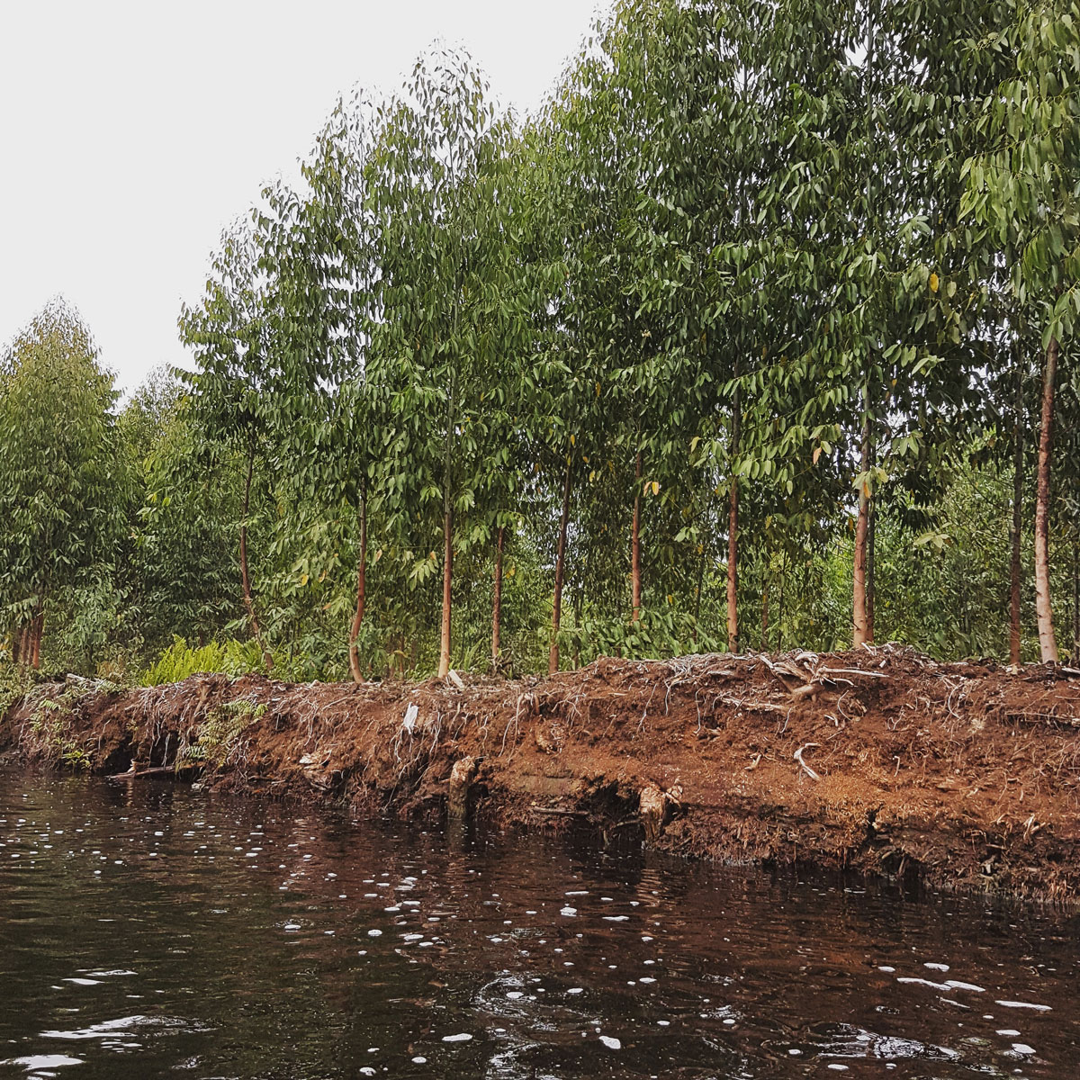
Open digital mapping for assessing carbon storage in tropical peatlands
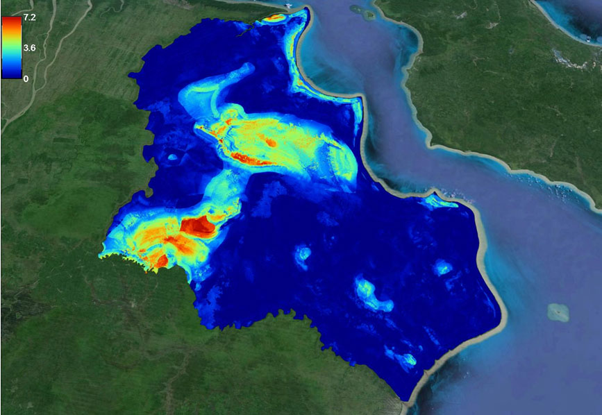
Researchers from Sydney, Australia, and Bogor, Indonesia demonstrate that tropical peatland can be mapped accurately and cost effectively using freely-available remote sensing data and open source software. At COP23 in Bonn, the Global Peatlands Initiative and various organisations held events aiming to bring peatlands on the agenda at COP23. Peatlands have an important role in…
-

Korean Soil and Fertilizer Conference 2017
We were invited to present at the annual Korean Soil and Fertilizer Conference, 19. Oct. 2017 in Chung Ju (University of Chungbuk). The NAS (National Agricultural Sciences) symposium titled “Technology and Prospects of Digital Soil Mapping”. The conference was opened by the president of NAS highlighting the challenge of soil mapping and agriculture in S….
-

Digital Soil Mapping Training in Jeonju, Korea
Brendan Malone and Budiman Minasny recently conducted a 2-day digital soil mapping training at the Rural Development Agency (RDA) Headquarter in JeonJu, S. Korea, 17-18 October 2017. The training is part o fthe research collaboration between National Institute of Agricultural Sciences and the University of Sydney. It is also supported by the Australia Korea Foundation….
-

More Data or a Better Model?
A new paper published in Soil Science Society of America Journal by Sanjeewani Nimalka Somarathna Pallegedara Dewage as part of her PhD tried to answer this question by figuring out what matters most for DSM of soil carbon. In this study, Sanjee studied how diverse spatial modelling techniques perform under varying training sample sizes, in…
-

Mount Agung: Light will shine out of darkness
By: Dian Fiantis and Budiman Minasny Bali’s Mount Agung is likely to erupt soon. This eruption will be a catastrophic event, lava and ashes with high temperatures will be ejected causing severe risk to humans and their livelihoods. Ashes from the volcano will cause damages to farmers, destructing their crops and burying their farms. The…